Construction projects move fast. Site conditions change daily, schedules shift, and several trades have to coordinate their work on tight deadlines. When decisions get made on outdated information or limited site visibility, small issues turn into expensive delays, change orders, and budget overruns.
Nowhere does that bite harder than on earthwork, where the dirt is the budget.
Move more than the plan called for, or come up short on fill, and the cost lands somewhere: a haul-off you did not price, an import you did not order, or a change order someone is about to fight over.
For years, the only way to pin that number down was to walk the site with a rod, take a scatter of shots, and trust that the ground in between behaved. A drone closes those gaps because a single orthomosaic shoot measures the entire surface instead of a sample.
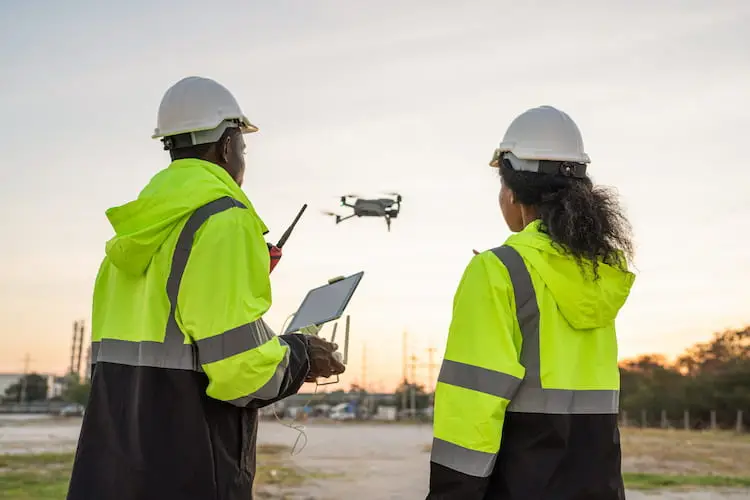
That is why more construction companies are building drone technology into how they run projects. Drone services deliver accurate, current visual data that helps contractors make better decisions, communicate clearly, and keep the schedule on track.
Corporate Capture is a Phoenix team of insured, FAA Part 107 certified drone pilots, and construction mapping is one of the services we fly most. Here is what the work captures, how it protects a budget, and how to tell a real mapping provider from someone who just owns a
See a Real Phoenix Site in 3D
Would you rather see it than read about it? Open one of our live Corporate Capture site maps and move through it yourself:
View the Phoenix Site Map in 3D
- Select the link above to open the map.
- Choose “View in 3D.”
- Scroll in to move from 300 feet above ground down to ground level.
- Scroll out to pull back from ground level.
- Double click on any spot to set it as the new focal point.
- Move your cursor sideways to rotate around the site.
Areas enclosed by a white line carry cut and fill data, including the perimeter, area, and volume.
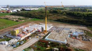
Traditional site inspections and ground-level photos only tell part of the story. Aerial imagery gives project managers, superintendents, owners, and stakeholders a complete view of the site, which makes it easier to monitor progress, verify completed work, and spot problems before they hit the schedule.
Instead of relying on verbal updates or a scatter of phone photos, everyone works from the same picture of what is actually happening on the ground.
What an Orthomosaic Shoot Captures
An orthomosaic shoot is the flight that turns your site into measurable data. The pilot flies a planned grid so every part of the ground is photographed from several angles, with high overlap between frames. Photogrammetry software then stitches those hundreds of images into one corrected aerial map and a matching 3D surface.
That map is called an orthomosaic: a single high-resolution image of the site, corrected so every point sits in its true position.
Unlike a normal aerial photo, an orthomosaic is corrected for scale and angle distortion, so you can pull distance, area, and location straight off it. The same flight records the shape of the ground as a digital surface model, and that model is what makes volume work possible.
A standard shoot hands you:
- An orthomosaic of the full site at a known resolution, measured in inches per pixel
- A digital surface model recording ground elevation across the site
- Contour lines and a point cloud when your design team wants one
- Files in the formats your design and grading software already reads
Quality comes down to ground sample distance, the real-world size of one pixel. The smaller it is, the more clearly grade breaks and small features show up, and the more you can trust the volumes the model produces.
Control matters just as much. Targets surveyed on the ground, or RTK positioning on the aircraft, tie the map to real position and elevation so the measurements hold up.
From Flight to Cut and Fill Report in Four Steps
Cut and fill is the earthwork math: how much to cut from the high spots and fill into the low spots to reach the design grade. Drone data gets there fast because it measures the whole surface, not a handful of points.
The process works in four steps:
- Fly the site on a planned route, tied to ground control points or RTK positioning.
- Process the imagery into an orthomosaic and a surface model.
- Drop in the design grade and compare it against the measured surface.
- Report cut volumes, fill volumes, and the net, usually as a color map showing where each lands.
That map is the part crews use. Instead of abstract volumes, the super sees where the cut is, where the fill goes, and whether the site balances on its own.
Where Drone Data Prevents Expensive Mistakes
One of the real payoffs of drone data is how it heads off costly mistakes. High-resolution imagery and detailed site mapping let a team evaluate grading, drainage, building pads, material staging, and site logistics clearly.
That means problems that would otherwise go unnoticed get caught early, before they turn into rework, delays, and unnecessary expense.
The cost of guessing shows up fast. A topo built from spot elevations is only as good as the points someone had time to shoot. Miss the toe of a slope, skip the back of a stockpile, average across a swale, and the volume that comes out is a confident-looking number built on guesses.
Say you are grading a 12-acre pad and a sparse topo says the site balances. Then the dirt moves and reality disagrees: the high side was higher than the points showed, and now you have 4,000 cubic yards of cut with nowhere to go, an unplanned haul-off, and a truck schedule nobody budgeted.
A mapping flight at the start catches that imbalance while it is still a planning decision instead of a field emergency.
What Accurate Earthwork Analysis Saved on a Recent Job
On a recent project in Tucson, our drone survey and volumetric analysis showed the original earthwork estimates significantly overstated how much material actually needed haul-off.
With accurate numbers in hand, the project team adjusted its logistics plan and trimmed trucking requirements, fuel costs, and labor hours. The savings were immediate, and the operation ran leaner through the rest of the job.
That is the trade the whole service is built on: measure the dirt before you move it, and the budget holds.
One Orthomosaic, Many Uses
Cut and fill is the headline, but once a site is mapped on a schedule, the same orthomosaic shoot does several jobs at once:
- Stockpile volumes: Fly a pile and get its volume in minutes, which turns material reconciliation from a guess into a measurement.
- Progress tracking: Compare this week’s surface to last week’s to see how much moved, and back pay applications with a measured record.
- Machine-control checks: Set the measured surface against the model running your GPS-guided dozers and graders, so you catch a drifting grade before it becomes rework.
- Documentation: Dated maps, 3D models, and volumes give owners, inspectors, and any future dispute a clean, timestamped record for stakeholder reporting.
None of it needs a second mobilization. Same imagery, different question.
Safer Sites and Clearer Communication
Safety is part of the return, too. Traditional surveying often puts people near heavy equipment, unstable stockpiles, and active work areas. A drone captures the same data from the air, so crews collect what they need without standing in the hazard.
The imagery keeps everyone aligned as well. Owners, investors, and stakeholders get clear visual updates that show exactly how the project is moving.
Regular aerial reports mean the whole team is working from the same information. That cuts down on misunderstandings and the back-and-forth that slows a job.
Drone Mapping Compared to a Ground Crew
Ground survey is not going away, and it should not. The two answer different questions:
Category | Drone Mapping | Ground Crew |
Coverage | The entire surface, every square foot | Sampled points, gaps in between |
Speed | Acres in well under an hour | Most of the day on the same ground |
Crew exposure | People stay off active, sloped, hot ground | Walking the site, near the equipment and edges |
Repeatability | Easy to re-fly weekly for progress | Slow and costly to repeat often |
Best at | Volumes, surfaces, progress, documentation | Stamped boundary and legal survey |
The honest line is the bottom row.
Drone data gives you volumetric and topographic information for earthwork and progress. It does not replace a licensed land surveyor’s stamped boundary survey, and any provider who says otherwise is selling you something they should not.
What Drone Mapping Accuracy Delivers
Accuracy comes down to control. With ground control points surveyed in, or RTK positioning on the aircraft, vertical accuracy on a clean site typically lands within a tenth of a foot, tight enough to plan haul-off, balance a site, and check billed quantities.
Two things move that number.
Heavy vegetation and standing water hide the real ground, so the model reads the top of the brush or the puddle instead of the dirt.
A map with no ground control can look sharp and still float several feet off in elevation, which is worse than useless on a volume job. When a provider quotes accuracy, ask what control they use and how they check it. If the answer is vague, so is the number.
Built for the Phoenix Calendar
Grading in the Valley runs year-round, and the drone advantage shifts with the season. Through summer, keeping people off hot, open ground for hours is a safety win on its own. A forty-minute flight replaces a crew walking the site all afternoon in 110-degree heat.
Monsoon season, mid-June through September, changes the priority. Before a storm, a quick flight confirms the site drains the way the plan says, while there is still time to fix a low spot. After one, the same flight documents erosion and any material that moved.
Because the data is repeatable, many teams fly on a set schedule and feed the surfaces into the design and grading software they already run. That is where construction mapping is heading.
What to Ask Before Hiring a Drone Mapping Provider
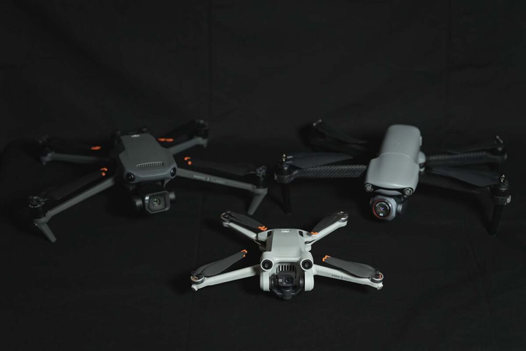
Plenty of people own drones. Far fewer can hand a grading team numbers they can build on.
Before you book, ask:
- Are the pilots FAA Part 107 certified and insured for commercial work?
- What ground control do they use, points or RTK, and how do they verify accuracy?
- What formats do they deliver, and do those drop into your design and grading software?
- What is the turnaround from flight to finished report?
- Can they fly on a recurring schedule for progress and pay applications?
The answers separate a vendor with a camera from a partner who understands the job.
Our construction drone photography sits alongside progress documentation and aerial site photography in the same workflow, so one team covers the project from pre-bid through closeout.
Orthomosaic and Cut and Fill FAQs
What is an orthomosaic shoot?
It is a mapping flight that photographs your whole site with high overlap, then stitches those images into one corrected aerial map and a 3D surface model. From that data, we measure distances, areas, and volumes, including cut and fill.
How accurate is drone cut and fill?
On clear ground with proper control, expect vertical accuracy near a tenth of a foot, which is enough to plan haul-off and verify quantities. Vegetation and standing water reduce it because they hide the real surface from the camera.
Do you need ground control points?
For measurement-grade volumes, yes. Control ties the map to real position and elevation. We either set temporary targets and survey them in or use RTK, depending on the site and the accuracy you need.
Can drone mapping replace my surveyor?
No, and it is not meant to. It delivers volumes, surfaces, and progress data for earthwork. Stamped boundary and legal surveys stay with a licensed land surveyor. The two work well together.
How often should we map an active site?
It depends on how fast the dirt moves. Many teams fly a baseline at the start, then monthly or at grading milestones, comparing surfaces to verify quantities as work goes on.
Map Your Next Phoenix Site With Corporate Capture
Technology that improves visibility, reduces risk, and supports better decisions is no longer a luxury. It is an advantage, and the contractors who use aerial data are better set up to control costs, hold their schedules, and deliver the job.
If earthwork is a major line on your project, measuring it well protects the budget.
At Corporate Capture, we turn aerial data into decisions you can act on, whether you need progress tracking, stockpile measurements, photogrammetry, cut and fill reporting, or LiDAR.
Our FAA Part 107 certified pilots fly across Phoenix and the greater metro, with deliverables your design and field teams can use the same day. See our project portfolio for examples of our construction work, then request a quote to put your next site on the schedule and protect your bottom line.